Tiilikkajärvi National Park
The most beautiful in all seasons.
Tiilikkajärvi National Park in Rautavaara
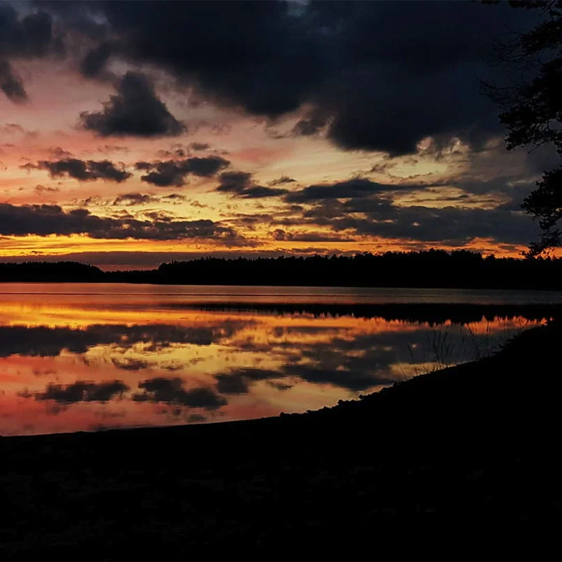
Tiilikkajärvi National Park is located in the beautiful nature of Northern Savo in Rautavaara. The park was established to preserve the wilderness-like lake, river and ridge nature and the minerotrophic bogs surrounding Lake Tiilikkajärvi.
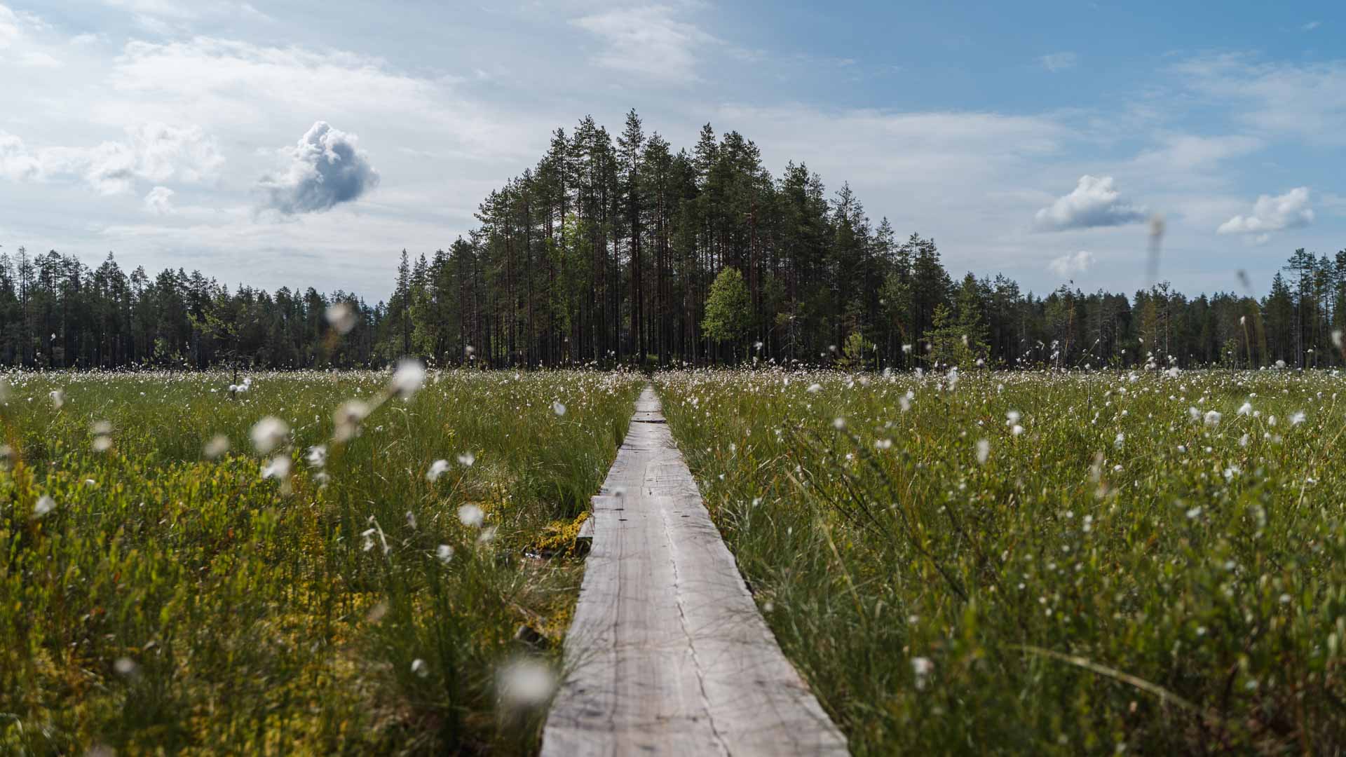
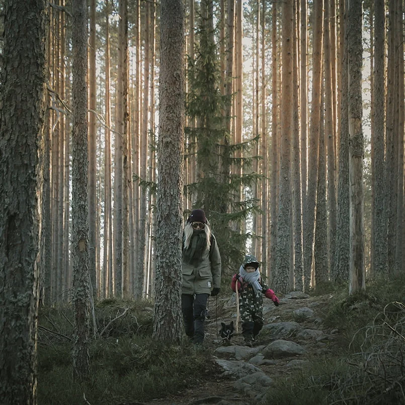
There are 27 km of marked hiking trails in Tiilikkajärvi National Park. Beside hiking, Tiilikkajärvi’s nature can be admired by canoeing, skiing or snow shoeing. The trails are not maintained during winter.
In the national park, you can also get to know the history of the area. The park’s lovely lakeshore includes a beautiful beach called Venäjänhiekka (Russian sand). The name is related to the year 1595 Treaty of Teusina, which divided Sweden and Russia. An older border stone in Lake Tiilikkajärvi still bears a crown and a cross symbolising these two countries.
Tiilikanautio farm (Tiilikanaution torppa) was occupied until the beginning of the 19th Century. After this the estate was deserted up to the 1920’s. Today the farm is a tourist attraction.
Starting points
- Sammakkotammi information point
- Valtimontie 1095, Rautavaara
- Good place to start exploring the park
- Shortest route to the Venäjänhiekka and other resting places
- Pohjoisniemi parking area (forest road)
- Kajaanintie 1655, Rautavaara
- Konttikangas parking area
- Pumpulikirkontie 320, Rautavaara
- Metsäkartano
- Metsäkartanontie 700, Rautavaara
Tiilikkajärvi hiking trails
Uiton kierto (circular route, 7km)
- The most popular trail in the national park
- Easy to hike, a lot of duckboards
- Hikers can stop by in Venäjänhiekka and Tiilikanautio farm
- Next to the Uiton Kämppä, there is fireplace, well, composting toilet, landing point for canoes and possibility to take a swim in a lake
- Connected to Aution kierto
- Starting point in Sammakkotammi
Aution kierto (circular route, 3,4km)
- Easy to hike, mainly on a duckboards
- Recommended direction for hiking: clockwise
- Uiton kämppä is the best place to start the trail, and the distance from the parking area to Uiton kämppä is 3,5km.
- Visitors arriving from Pohjoisniemi direction can also start the trail from Tiilikanautio farm, and the distance from the parking lot to Tiilikanautio is about 6km.

Tiilikkajärvi hiking trails
Pumpulikirkko trail (1,3km one way)
- The trail takes visitors from easily accessible heaths to the bottom of a cool canyon and finally, to the base of a rugged giant’s kettle
- During the snow-free season, hiking time is approximately half an hour one way
- Parts of the trail run in rocky terrain
- No campfire sites or toilets along the trail
- The trail is marked with orange spots painted on trees
- Starting point: Konttikangas parking lot
Haravapuro trail (circular route, 2,5km)
- Easy to hike, highlights including picturesque Haravapuro stream, a small day hut, and a lean-to shelter on the shore of Ylä-Keyritty lake
- The route consists of approximately 1 km of one-way trail starting from Metsäkartano, and a 2,5 km circular route
- During the snow-free season, the estimated hiking time is about 1-2 hours
- The trail is marked with yellow dots painted on the trees
- Starting point: Metsäkartano
Explore the entire national park
Tiilikan kierto (circle trail, 18km or 11km)
- Moderately challenging trail
- Reserve one day to complete the trail
- The crossing boats require rowing skills
- The trail is open between approx. 15th May and 31st October, when the crossing boats are in use
- The recommended hiking direction is clockwise
- Starting point at Sammakkotammi, or from the Pohjoisniemi parking area, where you can choose between a 11km or 18km route

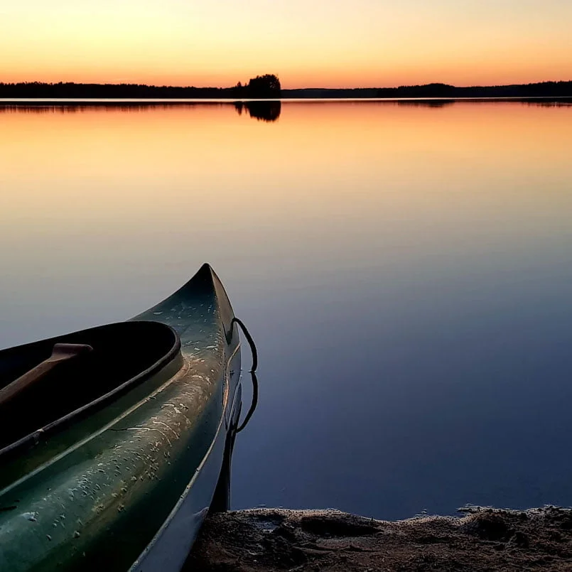
Canoeing
Lake Tiilikkajärvi is part of the North-Eastern Savo canoeing route (70 km), which is ideal for long canoeing trips. The flow of rapids has been slowed down by rocks, which is why the route can be demanding.
- The park does not have marked canoeing routes
- Landing points for paddlers are in Pohjoisniemi and Uiton Kämppä


 Pinboard