Tahko hiking trails
Find your next adventure from Tahko
Tahko hiking trails and trail maps
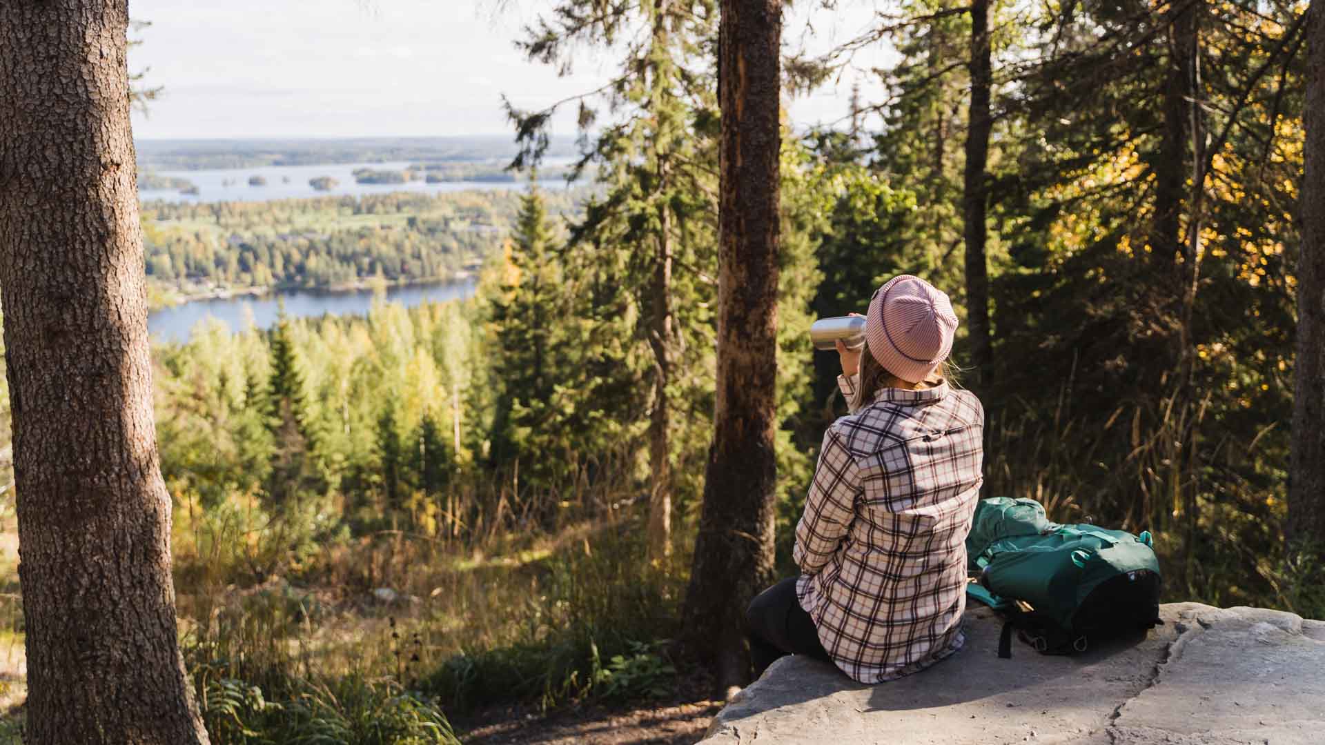
Tahko’s five ring routes of different lengths meander through varying terrains and stunning landscapes. It is also easy to combine summer routes to your liking, in which case you will eventually have to choose one of the more interesting route options. It is worth heading for the trip with good footwear, as the ground provides you with variety of different materials, from dirt roads to rocky paths and from pine forest to wooden stairs and elongated trees.
Tahko’s hiking trails have large elevation differences, as all trails rise to almost 300 meters above sea level at least once. The most magnificent postcard landscape can be found at the top of the slope area, from where the entire tourist area opens with its scenery at a glance. The morning sunrise from the top is something truly memorable in both winter and summer.
Please note, that all Tahko´s summer routes are on other use on winter ( slopes, skiing, snowmobiling ). For winter adventures, please check route descriptions and map here.
The official departure and return destination of the marked hiking routes is located in the information house on the beach side of the Tahko bridge, at Sääskiniementie 560, 73310 Tahkovuori. Cars can be parked also in Tahkolaakso parking lot, Tahkolaaksontie 1.
How long hiking trails there is at Tahko?
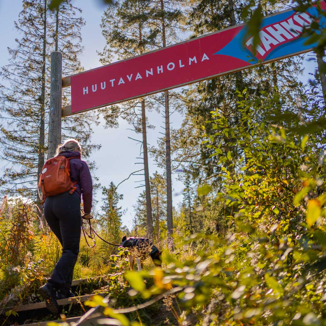
- Huutavanholman kierros 4,6km
- Tahkon Tähtikierros 6,3km
- Kettukankaan kierros 5,5km
- Tahkomäen kierros 14,1km
- Rahasmäen kierros 20,1km
Besides all mentioned ring routes, there are many possibilities to connect routes or use shortcuts via paths, Tahko stairs, panorama chairlift and smaller roads.
 Pinboard